Wasgamuwa National Park has
become a consecrated place of safety for highly endangered animals, specially
for Sri Lankan elephants (Elephas Maximus). The Eastern boundary is defined by
the longest river Mahaweli, while the Northern and Western sides are bounded by
the Amban Ganga (river) and Dunuwila Oya respectively.
There are many routes to Wasgamuwa, but the very picturesque forestry route is via Pitawala Patana plain, cool misty Riverston pass. The route directions from Colombo is Colombo – Kandy main road → Matale → Rattota → Reverston → Pitawala → Illukkumbura → Laggala → Pallegama → Hettipola → Willgamuwa → Hadungamuwa → Wasgamuwa (247 km).
Before your destination
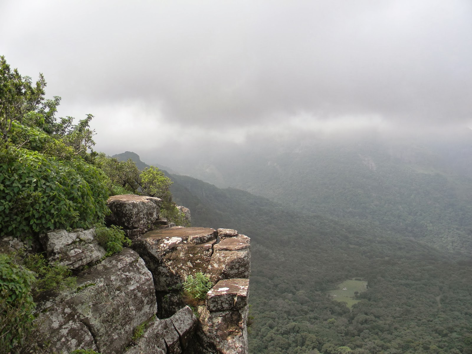
to Wasgamuwa, you may stop a while in Riverston which is one of the mostly
visited plains in Sri Lanka. Landscape sceneries there including Knuckles
Mountain Range, could be encountered from this route. Riverston is
one of the mountains of Knuckels stretch. It has become a travellers’
destination (both local and foreigners) due to its climate and geographical
location in the Highlands (Matale District). Riverston is about 25 Km drive from
Matale and 43 km drive to Wasgamuwa. The hike to the top is adventurous and interesting
because it is headed to the Mini world’s End via Pitawala Pathana. It is challengeable
too, since the wind is coming towards and prevents you in stepping up.
This is an ideal experience to get; two different climates and bio-diversified surroundings. Unlike other routes, this route has some additional advantages. The other places you can visit on your way to Wasgamuwa via Riverston are Rattota, Karagahatenna Radio Broadcasting station, waterfalls named – Sera Ella, Bambarakiri Ella, Dambana town, Mahiyangana and Muthiyangana Temple etc.
Here are some breath taking images of Riverston......


No comments:
Post a Comment